|
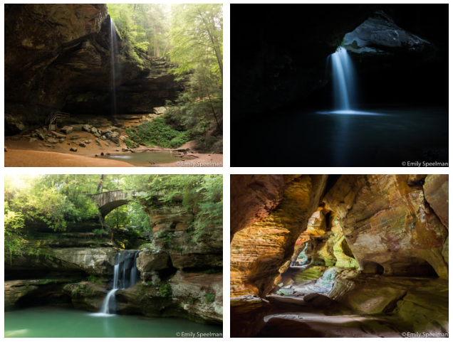
Hocking Hills, where does one begin, this is an area I've been visiting since I was a child, it is so very dear to my heart and I know I'm not alone on this. Every year millions of people travel from all over the world to experience the beauty that is this natural area. You'll find everything from waterfalls, cliffs, and caves. By observing the rocks you can travel through time and observe the history of Ohio.
The first people to explore and establish in this area were of the ancient Adena culture over 7,000 years ago. More recently in the 1700s Native Americans would travel through these caves and hollows. In the 1800s white settlers began settling in the land and by the late 1800s it became a popular scenic attraction. In the 1920s the State began purchasing this land to preserve these natural features. The rocks tell us so much more than that. The highlighted features of the Hocking Hills complex are carved from Black Hand Sandstone and shale. This bedrock was deposited more than 350 million years ago as a delta in the warm shallow sea which covered Ohio at that time. The millions of years following, the uplift and stream erosion created the remarkable features you can see today. Sandstone varies in composition and hardness from softer, loosely cemented middle zone to harder top and bottom layers. The recess caves like those seen at Ash Cave, Old Man's Cave, and Cantwell Cliffs are all carved in the softer middle zone. Weathering and erosion widened cracks found in the middle layer of sandstone at the Rock House worked to create the unusual formation found there. When observing the rocks you can also see interesting features like cross-bedding, honeycomb weathering, and slump blocks. Although glaciers never reached the park areas, their influence can be found throughout the area in the form of the vegetation such as the towering eastern hemlocks, the Canada yew, and the yellow and black birch growing in the gorges. While we weren't able to visit all of the parks on this trip, we did see quite a few... Rock House, Conkle's Hollow, Old Man's Cave, Cedar Falls, and Ash Cave (Missing - Cantwell Cliffs, Whispering Cave) Click "Read More" to read about each place we visited and enjoy some of the photos we took along the way.
0 Comments
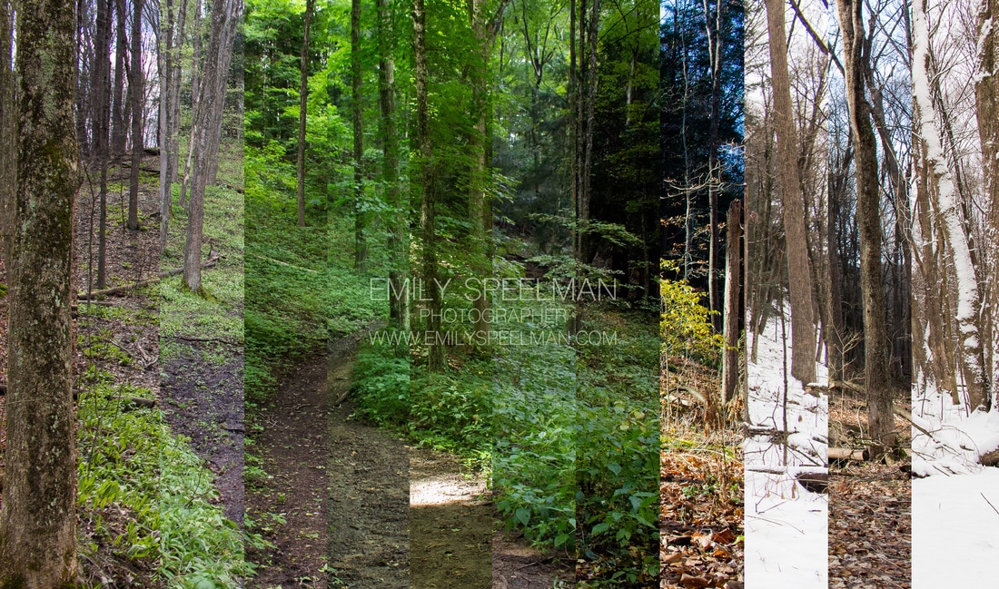
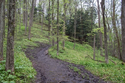
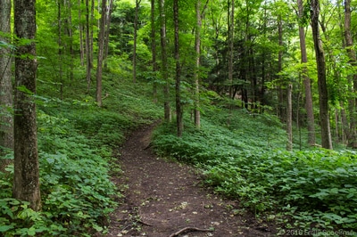
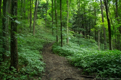
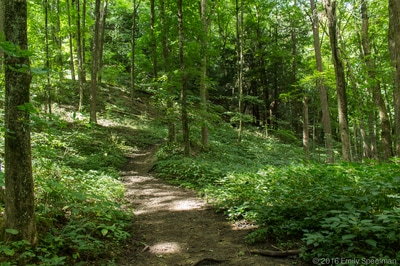
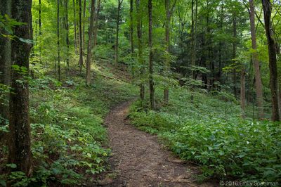
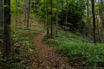
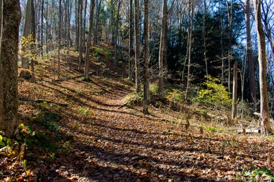
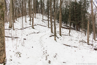
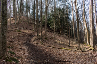
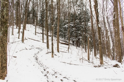
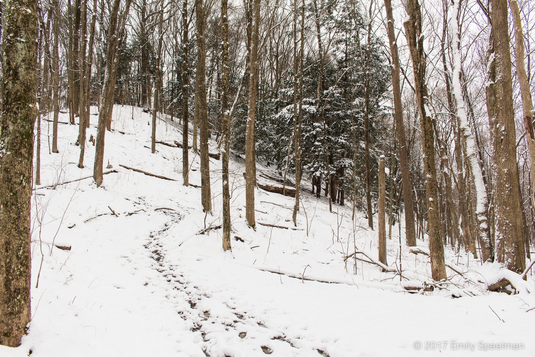
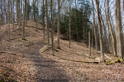
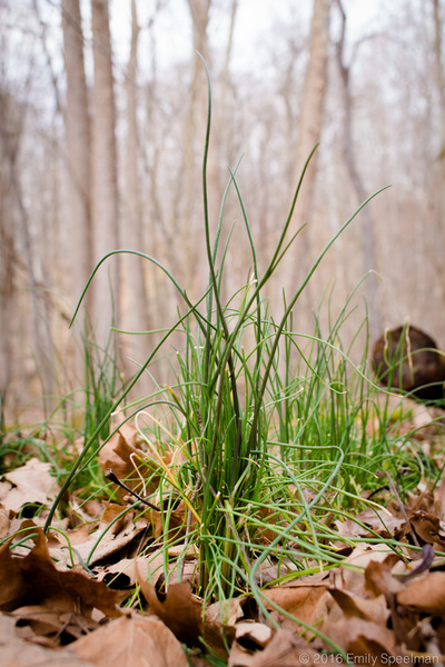
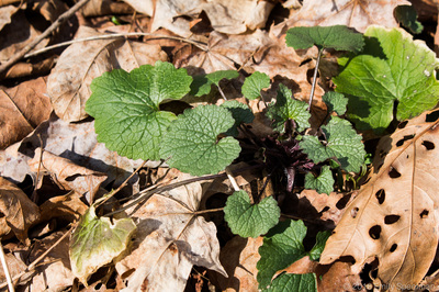
This project has been such a great learning experience for me, I started it on a whim in March 2016 while out watching for wildflowers (which in and of itself turned out to be an amazing independent study for me). I walked the same trail every day for a full month observing changes, growth, erosion, watching how winter changes to spring, spring to summer, summer to fall, and fall back to winter. It opened my eyes to the life-cycles of plants - what ones bloom and die (like the dutchman's breeches), what ones stay long after their blooms (like the bloodroot and wild ginger leaves), what ones come along much later in the season but certainly claim their place (like the bedstraw, nettles, and goldenrod). It amazed me just how abrupt the seasons do change, from May to June the whole forest turned green, then from October to November it all disappeared. Below is a collage of each month's view of the trail - click on each picture to be taken to that month's post. I want to thank you all for following along on this project, I hope you got as much out of this as I have (or even if it merely inspired you at all to go outside and explore your world, I'd call that a win!). February's HikeFebruary's hike was a fantastically snow covered one,
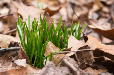
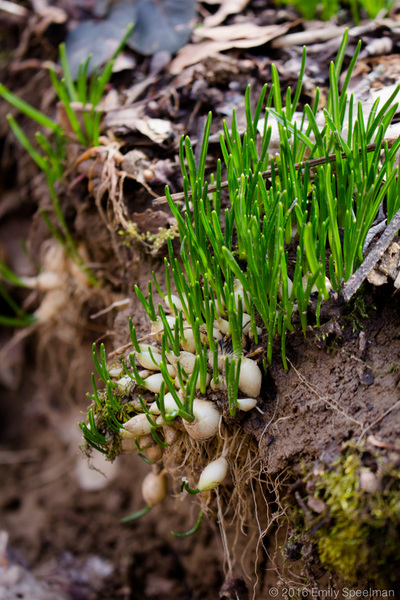
the early morning snow still clinging to the trees, for just one moment the world was quiet and calm. Spring is a great time of year to explore your parks; watching the slow progression from brown to green to bloom. I'm making a point of walking the Trillium Trail every day to find the first trillium bloom. Day 1, if you look close beneath the leaves there's a bright green world waking.
Back on February 8th we got a beautiful icy snow layer, the first in a while. As soon as I bundled up in layers I made a b-line to the park. The snow came down in the big beautiful flakes. The wind nipped my nose. Alone in the park I could hear every creak of the trees, every flake of snow landing on each leaf. It was a magical morning. There's something about cutting out a few hours for yourself that can be so rejuvenating.
To allow your mind to wander and sort. To breathe in the fresh air. To gaze upon trees much older than you that will, more than likely, outlive you. I find walking (along with other various exercises) has given me more energy, helped me think clearer (and analyze things in a productive positive light), and I have started sleeping through the whole night. There's many reasons for people to walk... for health, for meditation, for exercise, for pets it doesn't matter what your reason is, as long as you do it! Every year between September 1st and November 30th the Summit County Metroparks host their annual Fall Hiking Spree. Hikers must complete 8 of the 15 trails listed in order to receive a metal badge that adorns the hiking stick you will receive upon completion of your first hiking spree. Spree is free to all Summit Co. residents, non-residents may participate but to receive hiking rewards it is $10 first year then $5 for veteran hikers. List and more information can be found here. For us, the hiking spree really motivated us to get out and explore more of the area's metroparks, sure we had a handful of favorites already, but years ago when we were new to the area it pushed us to explore more of the parks that we wouldn't have explored otherwise and we ended up finding a few new favorites. This year to inspire all of you to get out and explore I'll be posting about each of the trails and hikes we complete. I'd love to hear your feedback about your experiences on each of the trails we post! Hampton Hills - Nov 9, 2015 - Spring HollowIn May of 2014 a spring storm swept through the area flooding roads, and parks, these two parks (Hampton & O'Neil) were among the few most devastated by the storms. Hampton's Spring Hollow trail would close from May 13, 2014 through June 13th, while O'Neil Woods (Deer Run) would be closed until July 23rd, and Adam Run until May 12th 2015 (one year later). The storm brought 3 inches of rain in just two hours, washing out trails, roads, and river beds, creating landslides and felling trees left and right. In these parks, almost two years later, the evidence is still there - piles of trees, exposed cliffs, etc., but nature is doing its part, a layer of moss adorns the felled trees, chipmunks scamper in and out making the trees their home; from whence they came, so shall they return. The cool crisp fall afternoon was perfect for a stroll through the woods, a leaf adorned trail twists and turns around trees, past riverbeds filled with trees from the storm, and up the boardwalk/stairs to the top of the hill where a pine grove planted years ago by the girl scouts fills the air with piney goodness. The trail leads back down the hill, leaves crunching underfoot. Near the end of the trail we came across a red tail hawk in its winter colors feasting on what I'm guessing to be was a chipmunk, as we approached it became startled and took off into the trees, blending in so well we lost sight of it sitting on a branch. Finishing the trail we decided to head over to O'Neil Woods before sundown to get another good hike in... Wildlife we saw: Red tailed hawk (winter colors) chipmunks & squirrels O'Neil Woods - Nov 9, 2015 - Deer Run TrailBy the time we made it across the valley to O'Neil woods, we knew we'd have just enough time to complete this trail before nightfall. We gathered up our gear and flashlight (just in case) and headed into the woods at a brisk pace. The lovely oak trees' blanket of leaves provided the soundtrack for our trek down the trail; the path was worn just enough for daylight visibility but I feared night may prove it more difficult, so we continued on at our brisk pace, as long as we made it across Bath Rd both times (the trail crosses the road twice) we'll be (less likely) to be lost in the woods. The sunset from on top of the hill was just gorgeous, the clouds were little tufts in the sky, giving texture to the bold pinks and yellow of the atmosphere. Looking in the direction opposite the sunset we could see the tower in Cuyahoga Falls illuminated by the fleeting rays of light. From this point we make our first descent down the extensive array of stairs. Down and down and down we go. Till, at last, we reach the bottom. We cross the road where the trail meets up with the river, and walk side by side for a bit. Turning the corner there's the newly re-painted O'Neil barn, relics from farm life still remain - old spring, stairs leading to nowhere. Crossing the road again we begin our ascension. After the storm came through May of 2014, they changed this trail a bit, the part I most remember was this climb formerly went straight up, just up and up and up and up, it was re-routed with a chain of switchbacks slowly leading you up the hill. At the top you can still catch a hint of the old trail off to the side. We made it to the end just as the twilight turned into night. I highly recommend not racing the sun on this or most of the trails (except the meadows, that one is lovely during sunset). Take the time to soak in all the charm and the atmosphere of each place. Wildlife we saw:
chipmunks & squirrels Various woodpeckers |
AboutSince 2015 we have been exploring and sharing all the amazing things we’ve found in nature. AuthorEmily is an Ohio Certified Volunteer Naturalist who is most often found out in the woods. Archives
March 2024
Categories
All
|
 RSS Feed